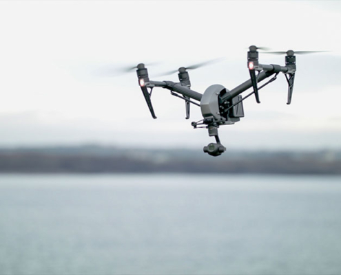
Aerial Video / Photography / Drone Services
 All of our flights are conducted by fully IAA licenced and insured operators and are done so in accordance with local airspace laws in Ireland.
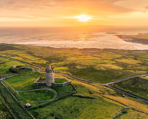
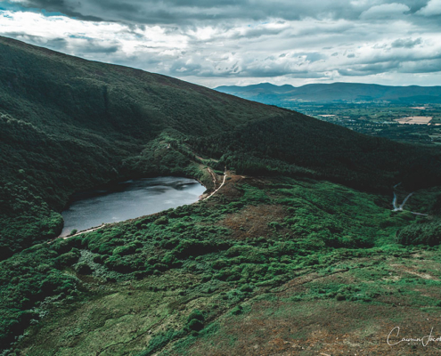
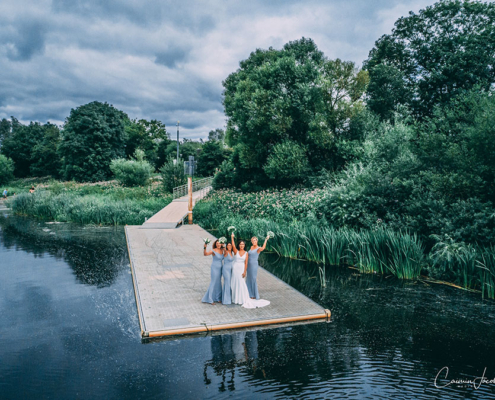
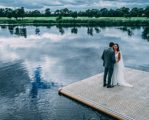
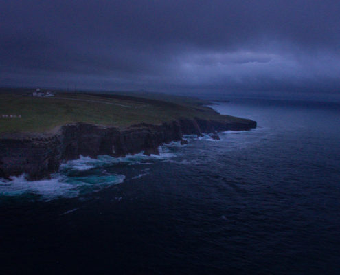
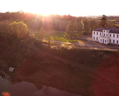
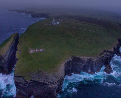
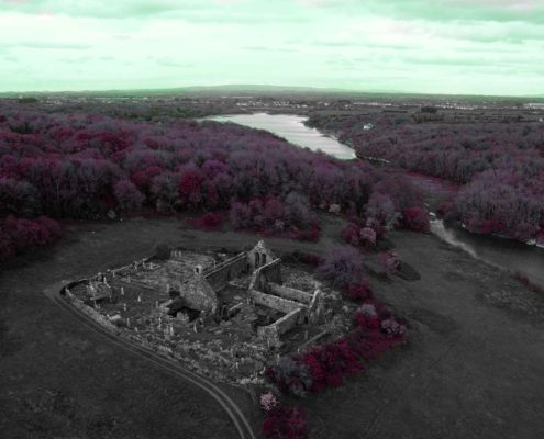
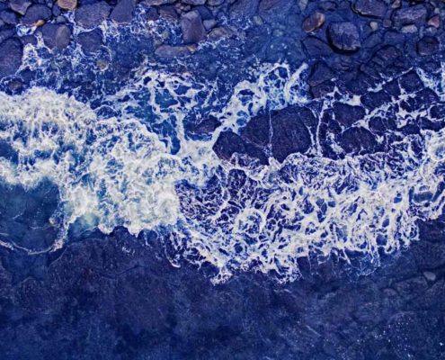
Aerial Photography
The cameras we use on our drones are capable of taking 24 megapixel RAW stills.
We can produce a variety of images including panorama and photogrammetry.
We use modern editing techniques to maximise the image and give you the best end product possible.
The cameras equipped on modern day drones means we can now achieve images that would have normally only been achievable by helicopter, but for a fraction of the price.
Aerial Cinematography
We can provide aerial video for a wide range of uses including, real estate, events, corporate videos, tourism, music videos and film etc. The possibilities are endless and we can adapt our equipment to nearly any project.
Our gimbal stabilised aerial cameras allow us to shoot your project in up to 5.6K RAW, so your project has pristine clarity and sharpness even when uploaded to the web, and we have plenty of room to play around with colour in post.
Unlike hobbyist drones, our drones are equipped with cameras that can use zoom lenses, meaning we can get close to the action while keeping everyone safe.
We can provide you with the raw footage or edit it ourselves, check out our show reel to reveal the possibilities.
Aerial Inspection
We can survey your asset quickly and efficiently using our high resolution zoom cameras from the air.
The advantages of using a drone to inspect things such as roofs and chimney stacks mean you wont have to incur the costs of erecting scaffold or getting insurance for workers to work at these heights.
The images can be relayed remotely through a live HD feed to the ground where our pilots can work with engineers and surveyors to assess the asset.
3D Mapping
Modern Aerial mapping techniques mean that drones can now generate what would have taken a ground team days to achieve, in a matter of hours.
The Drone flies in a grid pattern above the area being mapped, taking thousands of photos.
These photos are then transferred in to our mapping software and a 3D model is then built with extreme accuracy.

